Working with Named Places: How and Why to Build a Gazetteer
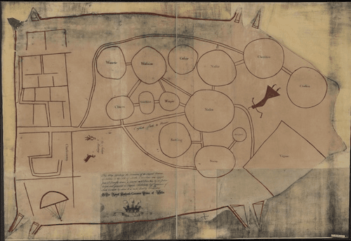
This lesson teaches you how to leverage the power of digital gazetteers, which are essential resources for spatial history. Unlike maps, gazetteers can readily connect named spatial entities with one another and with their modern locations, and they make it easy to annotate any identified place with information about texts, events, people, or other places that have been associated with it.
This lesson will demonstrate how to build a digital gazetteer, starting with a simple spreadsheet that you can build into Linked Open Data resources to communicate with other projects.
Reviewed by:
- Vincent Ducatteeuw
- Andrew Janco
Learning outcomes
After completing this lesson, you will be able to:
- Understand the concept of place
- Define what a gazetteer is and distinguish it from other forms of spatial information
- Identify scenarios for which creating a gazetteer may be preferable to using a geographic information system
- Transform a historical text into a gazetteer
- Share a gazetteer with other platforms to enhance it and use it for analytical purposes